
Walking itinerary - Tour du Haut Giffre
Medium
192h
75km
+6287m
-6288m


1 / 3
Description
This superb tour combines several hikes set out in the guide published by the Upper Giffre association.
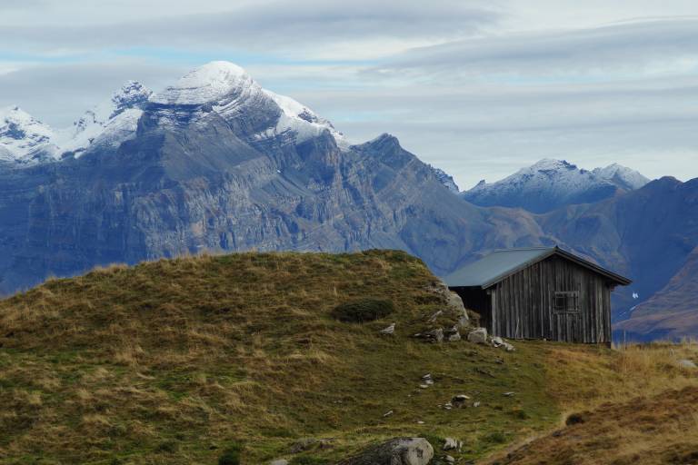
It enables you to explore all the facets of the Upper Giffre: the valley, its history and its population, the forests, the mountain pastures, and the mountain trails that provide some splendid panoramic views. The tour takes 6 or 11 days to complete and is intended for experienced hikders.
Starting altitude: 1,691m
Finishing altitude: 1,770 m
Particular difficulties: none
Recommended period June to the first snowfalls.
Itinerary for guidance only.
Difficult sections
Air crossings equipped with cables.
Marking
Difficult/beacons and cairns in altitude
Map references
TOP25 IGN 3530 ET