

Walking itinerary: Refuge de Bostan
Medium
3h15min
8.8km
Round trip
+673m
-673m
Description
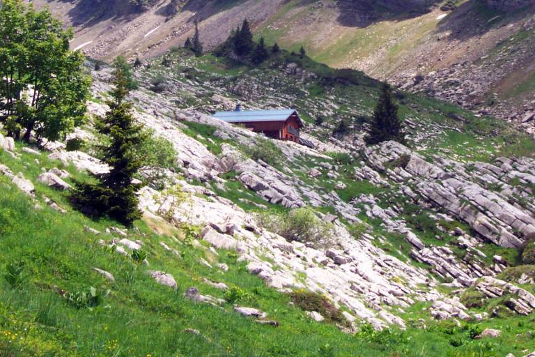
This hike takes you through mountain pastures to the Bostan hut.
Starting altitude: 1,096 m
Finishing altitude: 1,769 m
Particular difficulties: none
Itinerary for guidance only.
Marking
Wooden posts and yellow signs, indicating the names of the localities and the remaining journey time.
Map references
IGN TOP 25 - 3530 ET Samoëns map - on sale at the tourist office and in shops. Montagnes du Giffre hiking map - CCMG - on sale at the tourist office.
Amenities
Guided steps
At arrival