
Walking itinerary: rando'bus Samoëns - Lac de Gers

Medium
6h
15km
+873m
-817m
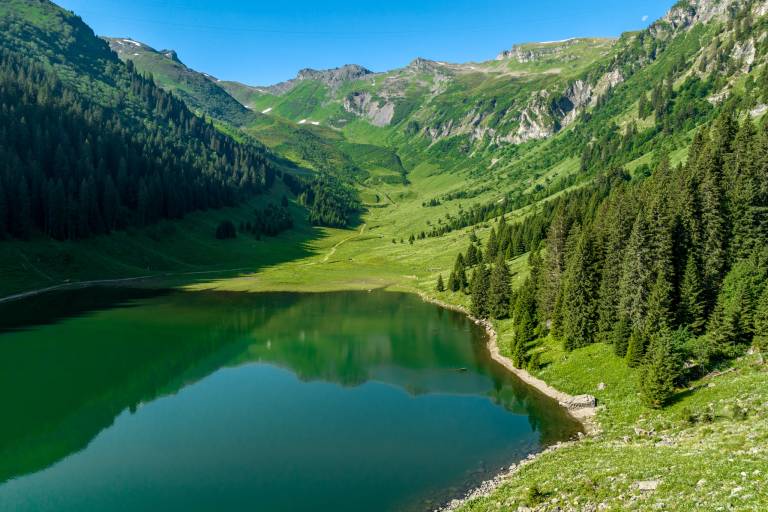
Walking itinerary: rando'bus Samoëns - Lac de Gers image1Walking itinerary: rando'bus Samoëns - Lac de Gers image2Walking itinerary: rando'bus Samoëns - Lac de Gers image3Walking itinerary: rando'bus Samoëns - Lac de Gers image4
1 / 4

Description

Shady ascent to the Refuge du Lac de Gers!
Use the destination's mobility network to hike longer, without having to make the round trip.

Marking

Wooden posts and yellow signs indicating the names of places and the remaining journey time. Reference topo guide ‘Rando Bus’, no. 14

Map references

IGN TOP 25 - 3530 ET Samoëns map - on sale at the tourist office and in shops. Montagnes du Giffre hiking map - CCMG - on sale at the tourist office.

Amenities

Guided steps

Departure on foot from Samoëns - Grand Massif Express
Cross the Pont du Giffre, then follow the signs for Les Rots and Les Echardes.
You arrive at the Pont du Nant d'Ant, above the eponymous
eponymous waterfall.
Continue towards Bémont d'En Haut then Roux. Continue towards Chalets de Porte then La Pépinière.
Continue on to the Lac and Refuge de Gers.
Take the same route back down to Chalets de Porte. This time turn right towards Englène. On
this part of the route, you can admire 2 waterfalls
Saubody on the left and Nant Large on the right.
From Englène, continue towards Pont des Nants, then descend along the roadside to the village of Sixt-Fer-à-Cheval.
Arrival at Sixt-Fer-à-Cheval - Bus station
Return by shuttle bus

Address
Avenue du Giffre, Pont du Giffre, 74340, Samoëns
Opening
From 05/07 to 31/08 daily.

Was this content helpful to you?

Address
Avenue du Giffre, Pont du Giffre, 74340, Samoëns
Opening
From 05/07 to 31/08 daily.