
Walking itinerary: rando'bus La Bourgeoise
Easy
1h40min
4.1km
Loop
+252m
-252m
Description
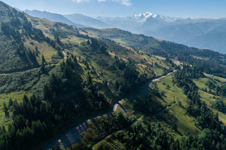
Rando'bus is an original proposal for hiking in the Montagnes du Giffre thanks to the summer shuttle service. Use the destination's mobility network to hike for longer, without having to make the round trip.
Difficult sections
Towards Pointe de Chamossière (aerial passage, avoid in wet weather).
Marking
Wooden posts and yellow signs, indicating the names of localities and remaining journey time. Reference topo guide "Rando Bus", n°5
Map references
IGN TOP 25 - 3530 ET Samoëns map - on sale at the tourist office and in shops. Montagnes du Giffre hiking map - CCMG - on sale at the tourist office.