
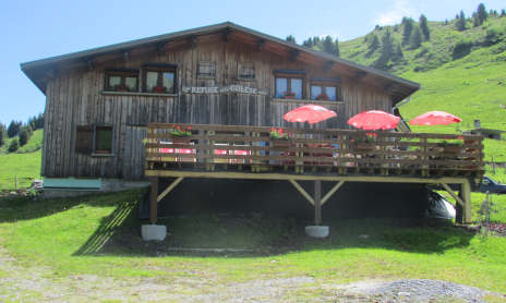
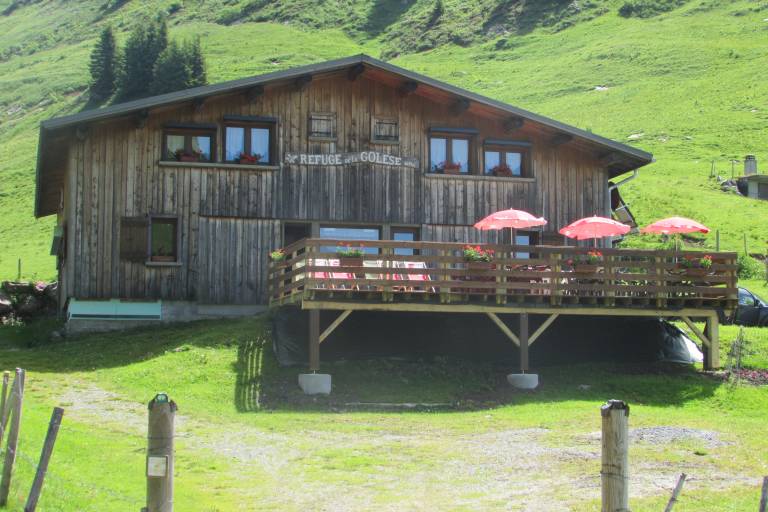
Walking itinerary: Golèse pass and refuge
Hard
4h
7.8km
Round trip
+550m
-550m
Description
Wide open and easy to access, the Col de la Golèse path has been used for a very long time. In fact, this route is the gateway to neighboring Switzerland via the Col de Coux.
Itinerary for guidance only.
Marking
Wooden posts and yellow signs, indicating the names of the localities and the remaining journey time.
Map references
IGN TOP 25 - 3530 ET Samoëns map - on sale at the tourist office and in shops. Montagnes du Giffre hiking map - CCMG - on sale at the tourist office.
