Walking itinerary - Tour du Haut Giffre on foot


1 / 4
Medium
36h
75km
+6287m
-6288m
Description
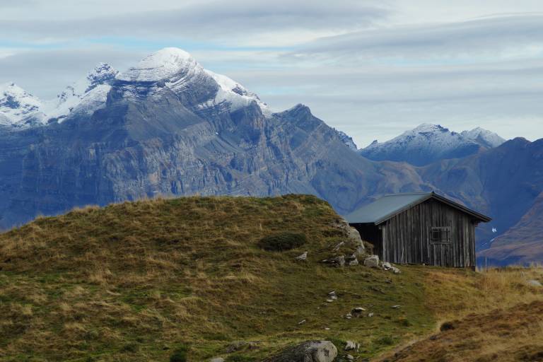
This superb tour combines several hikes set out in the guide published by the Upper Giffre association.
It enables you to explore all the facets of the Upper Giffre: the valley, its history and its population, the forests, the mountain pastures, and the mountain trails that provide some splendid panoramic views. The tour takes 6 or 11 days to complete and is intended for experienced hikders.
Starting altitude: 1,691m
Finishing altitude: 1,770 m
Particular difficulties: none
Recommended period June to the first snowfalls.
Itinerary for guidance only.
Pricing
Free of charge.
Route GPX track
Parking du Grand Massif Express, Route du Grand Massif, 74340, Samoëns
From 01/07 to 31/08 daily.
Subject to favorable weather.