The Pointe d’Uble

Medium
4h05min
6.2km
Round trip
+688m
-688m
The Pointe d’Uble image1The Pointe d’Uble image2The Pointe d’Uble image3The Pointe d’Uble image4
1 / 4

Description

Mid-mountain itinerary through the forest and across pastures with various viewpoints overlooking the surrounding region.

A mountain hiking expedition, a far cry from the lively villages and resorts. Around the Pointe d’Uble, people often see bighorn sheep and chamois. The sections of this itinerary across the pastures offer some great views over the surrounding valleys and mountains.

Marking

Map references

Amenities

Guided steps

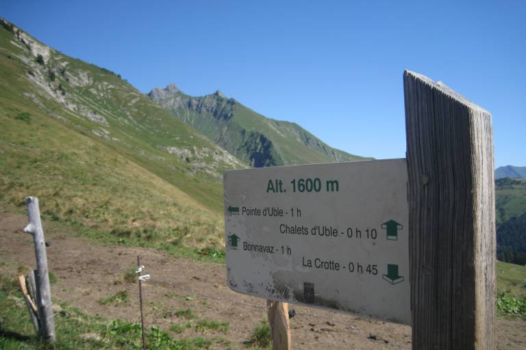
From the car park, take the footpath on the right that leads up to the Chalets de Rosset. The path then runs alongside the cliff, into the forest to then come out onto a meadow. It then leads up to a flat area in the middle of the pastures. From there, in approximately 1 hour, a footpath on the left leads along the ridge and then up to the summit (1,963 m).

Address
Parking de la Crotte, Praz de Lys, 74440, Taninges
Opening
From 15/05 to 15/11. Subject to favorable snow and weather conditions.

Was this content helpful to you?

Address
Parking de la Crotte, Praz de Lys, 74440, Taninges
Opening
From 15/05 to 15/11. Subject to favorable snow and weather conditions.