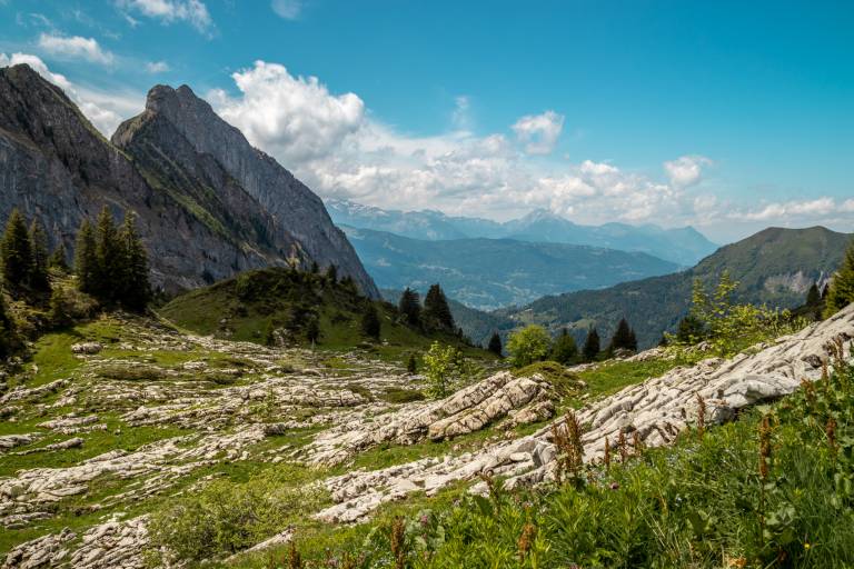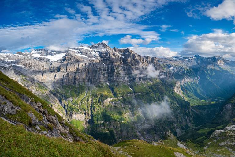
Are we going to climb part of the Tour des Dents Blanches?
Use the destination's mobility network to hike for longer, without having to make the round trip.
Beware, at the Pas du Taureau, a faint passage with steep slopes and unstable scree.
Wooden posts and yellow signs, indicating the names of places and the time remaining.
Reference topo guide "Rando Bus", n° 12b
IGN TOP 25 - 3530 ET Samoëns map - on sale at the tourist office and in shops. Montagnes du Giffre hiking map - CCMG - on sale at the tourist office.
Departure on foot
from the center of Samoëns - Office de Tourisme
Cross the historic town of Samoëns to join the GR5 at Clévieux, follow signs for Les Fontaines.
Follow Grand Bois then Pied du Crêt.
At the Pied du Crêt parking lot, follow signs for Hameau des Allamands. Continue to the
parking du Plan des Arches. You are now on the
Tour des Dents Blanches itinerary.
Follow signs for Refuge de Bostan.
Continue towards the Col de Bostan.
For the descent from the Col, follow the signs for Pas au Taureau.
Be careful, it's not very marked, with a steep slope and unstable scree.
Then follow Lac de la Vogealle.
Go around the lake towards the Refuge de la Vogealle.
Descend towards Chalet du Boret.
Then follow signs for Bout du Monde.
Follow signs for Chalet de Prazon, then Cirque du Fer-à-Cheval.
Arrival at Sixt-Fer-à-Cheval - Cirque du Fer-à-Cheval / Return by shuttle bus.