
Hiking Trail: Chalet Blanc Loop

Medium
2h
4.1km
Loop
+280m
-280m
Hiking Trail: Chalet Blanc Loop image1Hiking Trail: Chalet Blanc Loop image2
1 / 2

Description

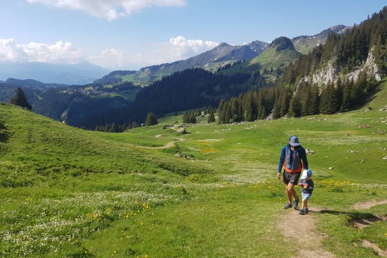
The playful marmots at the Chalet Blanc, a magical setting facing the Mont Blanc range. Panoramic view of the French, Swiss, and Italian Alps. Dogs are not allowed.

Marking

Map references

IGN Map 3429 ET (Bonneville / Cluses / Le Faucigny)

Amenities

Guided steps

Take the path that runs near the geographical pass of La Ramaz. The trail climbs toward the majestic Pointe de Chalune, one of the highest points in the area.
1/ Pass the Chalet Blanc on your right.
2/ Then turn left toward the Col de Vesinaz, and take the trail on the left that leads back to the starting point through a beautiful meadow at the foot of Pointe de Chavasse. You can also continue on to Pointe de Chavasse via a fairly challenging high-altitude trail.

Address
Parking de Pierre Rouge, Praz de Lys, 74440, Taninges

Sommand, Pierre Rouge parking lot.

Opening
From 15/05 to 15/11 daily. Subject to favorable snow and weather conditions.

Subject to favorable weather, Subject to snow conditions

Was this content helpful to you?

Address
Parking de Pierre Rouge, Praz de Lys, 74440, Taninges

Sommand, Pierre Rouge parking lot.

Opening
From 15/05 to 15/11 daily. Subject to favorable snow and weather conditions.

Subject to favorable weather, Subject to snow conditions