

Hiking Route: Tête de Bostan from the Bostan Shelter
Medium
4h
8.3km
Round trip
+600m
-600m
Description
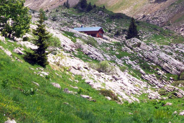
This hike will take you on a journey through the alpine pastures and to the Tête des Bostan, passing through the Bostan Pass and the Bostan Mountain Hut.
Starting elevation: 1,750 m
Ending elevation: 2,350 m
During the summer, the Bostan area is home to herds and livestock guard dogs; we encourage you to visit the Map.Patou website to check their locations.
Marking
Wooden posts and yellow signs, indicating the names of the localities and the remaining journey time.
Map references
IGN TOP 25 - 3530 ET Samoëns map - on sale at the tourist office and in shops. Montagnes du Giffre hiking map - CCMG - on sale at the tourist office.
Amenities
Guided steps
At arrival