
Hiking itinerary : Chalets de Bostan loop and Golèse pass
Medium
4h
9.04km
Loop
+695m
-703m
Description
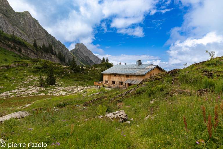
Get on the other side of the scenery! Through the beauty of wooded pastures, high-altitude meadows and limestone geological formations, discover the invisible, what landscapes can tell us, the stories they have told, what
Difficult sections
Please use caution and forethought when hiking. Asters, CEN-74 cannot be held responsible for any accident or inconvenience on this trail. Natura 2000 bird protection zone to be respected.
Marking
Wooden posts and yellow signs, indicating the names of the localities and the remaining journey time.
Map references
TOP 25 IGN 3530 AND